Professional Drone Services
Cutting-edge UAV solutions for construction, real estate, industrial, and heritage sectors
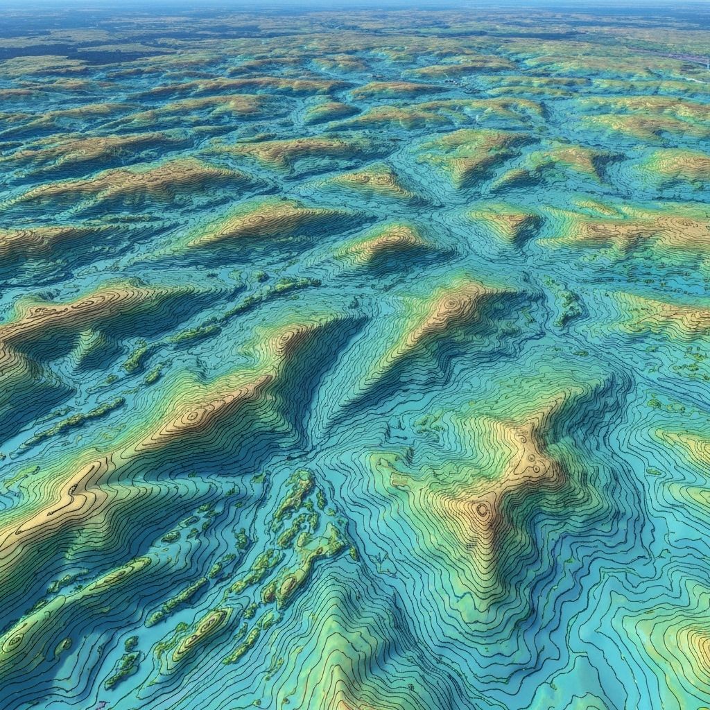
Photogrammetry & 3D Modeling
High-precision 3D models and point clouds for construction, surveying, and heritage preservation.
Key Features
- Sub-centimeter accuracy
- Dense point cloud generation
- Textured 3D mesh models
- Orthomosaic maps
- Digital elevation models (DEM)
Applications
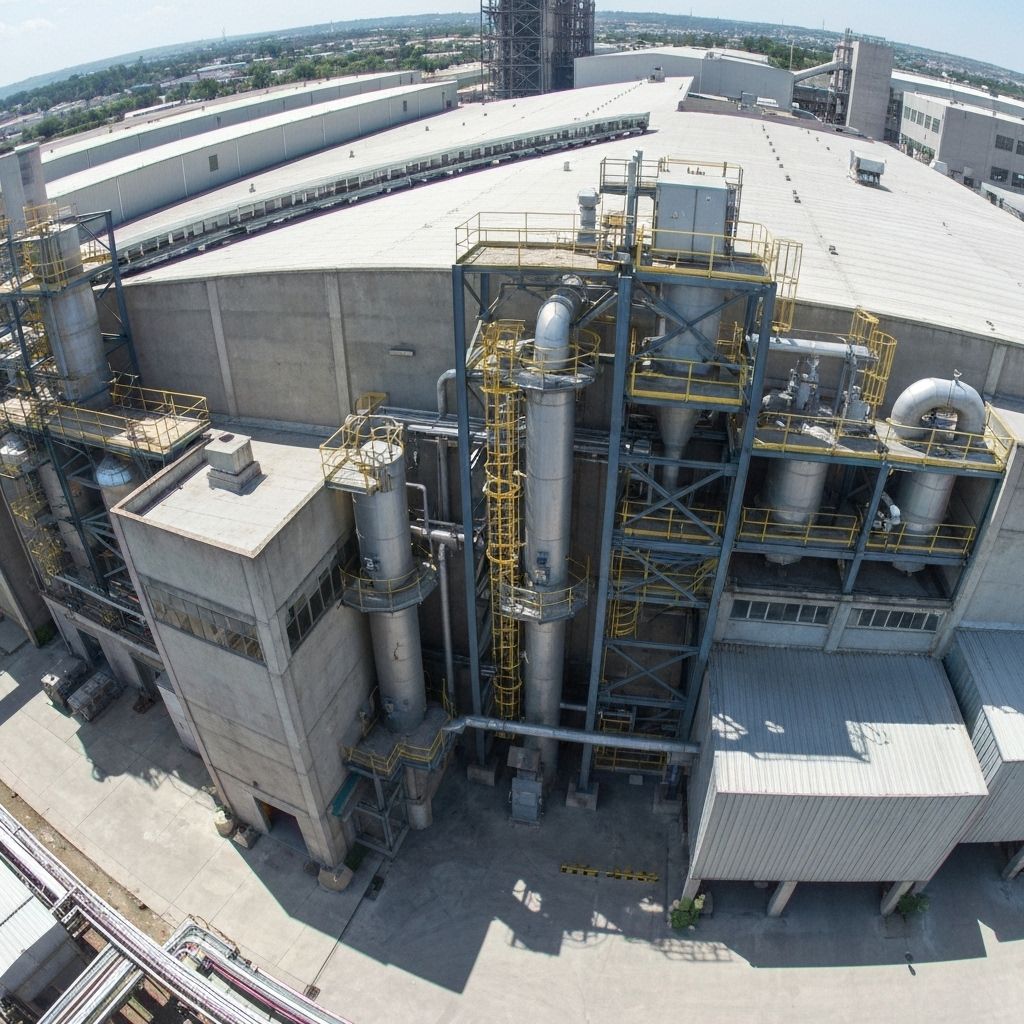
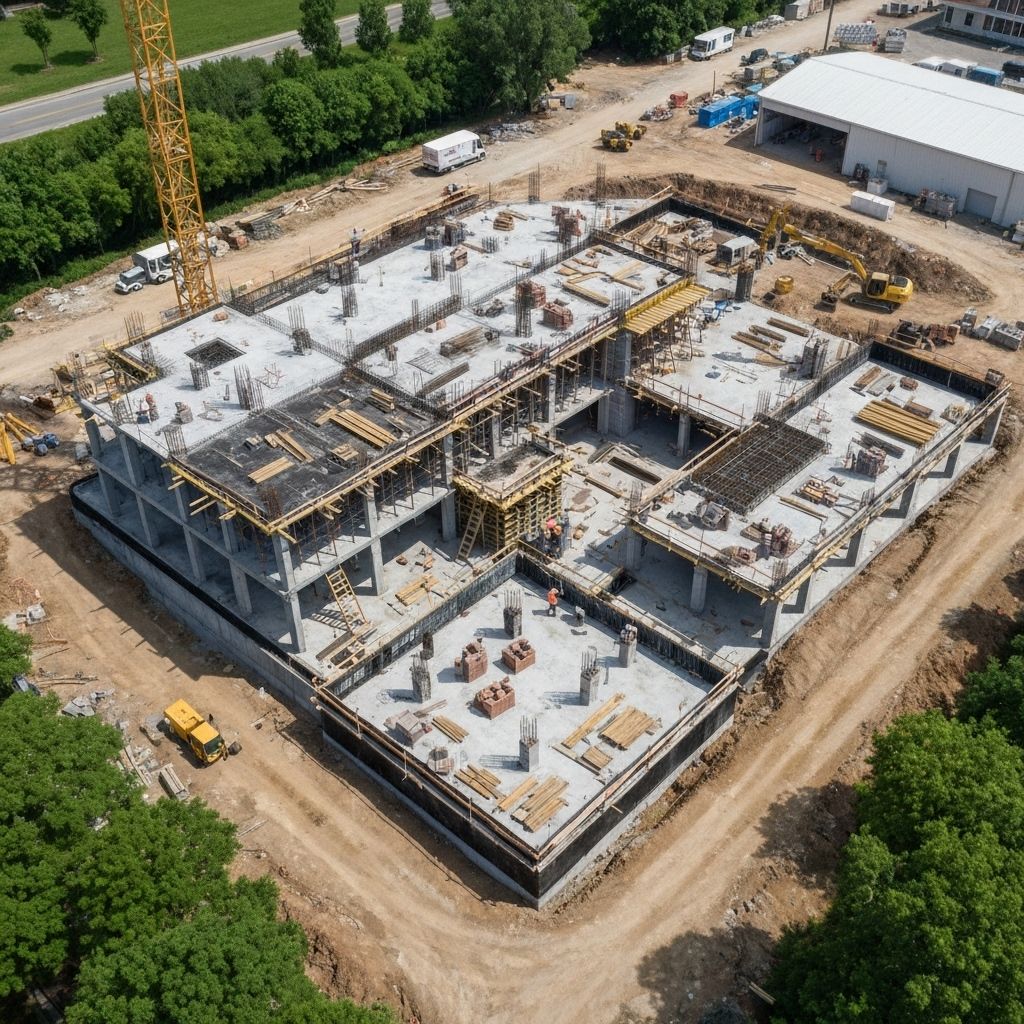
Aerial Inspections
Safe, efficient inspections of infrastructure, buildings, and industrial facilities.
Key Features
- High-resolution imagery
- Thermal imaging
- Hard-to-reach areas
- Detailed inspection reports
- Safety compliance
Applications

Aerial Cinematography
Stunning aerial footage for film, television, real estate, and marketing.
Key Features
- 4K/6K video capture
- Smooth cinematic movements
- Professional color grading
- Licensed pilots
- Creative shot planning
Applications
Surveying & Mapping
Accurate topographic surveys and GIS-ready maps for planning and analysis.
Key Features
- RTK/PPK positioning
- GIS-compatible outputs
- Contour maps
- Land surveying
- Change detection
Applications
Our Process
From consultation to delivery, we ensure a seamless experience
Consultation
We discuss your project requirements, timeline, and deliverables to create a custom plan.
Planning
Flight planning, permits, safety assessment, and equipment preparation for your project.
Execution
Professional drone operations with real-time monitoring and quality assurance.
Delivery
Post-processing, analysis, and delivery of high-quality data in your preferred format.
Professional Equipment
Industry-leading drones and sensors for superior results
DJI Matrice 300 RTK
Enterprise-grade drone with RTK positioning for centimeter-level accuracy
- 55-min flight time
- RTK/PPK GPS
- IP45 weather resistance
Zenmuse P1 Camera
45MP full-frame camera for high-resolution photogrammetry
- 45MP sensor
- Global shutter
- Interchangeable lenses
Zenmuse H20T
Hybrid thermal and zoom camera for inspections
- 640×512 thermal
- 20MP zoom
- Laser rangefinder
Ready to Get Started?
Contact us today to discuss your project and receive a custom quote tailored to your needs.